Stonehenge Revisited
Dowsing in Wiltshire with the East Cornwall U3A
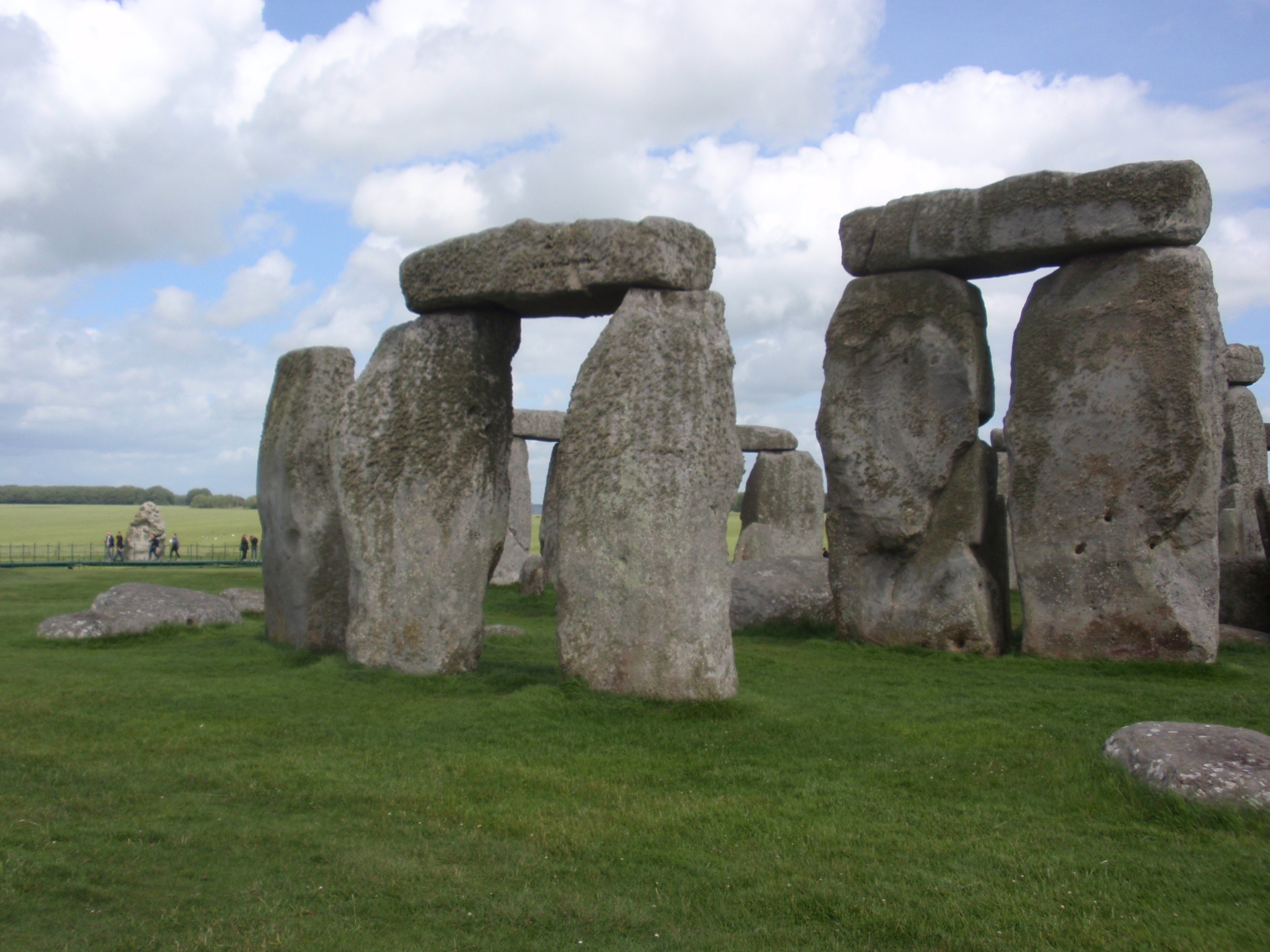
Stonehenge has changed a lot in the last 50 years. The stones are still there, of course, and in much the same format, but much has moved on from my school trips, when you could cavort on the grass between the trilithons and enthusiastically sacrifice your mates on the slaughter stone.
In retrospect, as a long-standing dowser and a former Thames Valley adolescent, it’s a bit surprising that I have never been drawn to revisit England’s most celebrated archaeological site. But this was a timely gift of an opportunity.
Despite the burgeoning touristification of this monument of international importance, not all the changes have been adverse. The interpretation experience, in particular, is both engaging and nuanced – concentrating far more on the social, scientific and spiritual approaches to the site, rather than the few dry descriptions on tired notice boards in times past – and most of those ‘facts’ now seem to have been conveniently forgotten anyway!
One of the nicely-crafted preparatory videos looping in the new Visitor Centre features Timothy Darvill OBE, who gave a keynote presentation to the British Society of Dowsers Conference a couple of years ago.

The most striking and positive evolution, from a dowser’s perspective, in more recent times has been the complete about-face in understanding a collection of monoliths in a grassy field more in the context of their surrounding area – the Stonehenge Landscape as it is now known. Relationships to the local rivers and nearby clusters of tumuli feature prominently, not to mention the emerging rediscoveries at nearby Woodhenge and Durrington Walls, so dear to the heart of the BSD’s chief archaeological dowser, Don Bryan.
Another huge plus is that with the coach and car park are now out of sight from the stones themselves. So, you can walk (or take a shuttle bus) a kilometre or so over a low chalk ridge – and you literally process down the side of the extensive Cursus (which I had never even seen!) on your way to the object of your quest.
The Cursus itself dowsed as having strong energy leys down either side of its course, but also corresponding east/west Hartmann lines. There wasn’t much in the way of earth energy lines crossing the width of the Cursus, although those associated with the leys did wiggle and weave their way from one end to (presumably) the other.
We passed a group of four tumuli in a tight alignment, and dowsed that each was in the middle of a large energy spiral.
Gravel replaced the worn-down grass around the stones themselves back in the 60s, and a ‘security’ fence went up in the 70s. Strangely, neither of these developments seems to have reduced the experience significantly, as this is a site that needs to be seen both in its environmental context and from some distance.
It was easy enough to dowse the major leys, grid lines and crossing earth energy features from beyond the fence, as most of the excited visitors form a tight ring around it, getting as close to the stones as possible. I also dowsed a large starfish-shaped pictogram, with eight rather stubby tentacles.
A few from the coach loads who had arrived via London from the Far East took a somewhat quizzical look at my rod waving, while those from across the north Atlantic seemed more inclined to proffer a knowing nod. I had my mother’s voice regaling me to ‘mind you don’t have somebody’s eye out’ ringing in my mind, as platoons of bored inbetweenies rushed past looking for the next selfie opportunity – but, in truth, the adults at least seemed genuinely more interested in the archaeology than in some home-grown headcase diviner.
The energies around the Hele Stone, which is very close to the fence, did seem stronger and more definitive, with a powerful ley centred on the menhir itself and embracing in its girth just about all of the central circles of the henge.
Needless to say, a substantial water dome exists below the central area, and was clearly one of the critical reasons for this site first being regarded as sacred. I dowsed several underground streams flowing away from the central node, and a couple flowing in. The latter seemed a bit unusual, but without being able to investigate the centre directly . . .
Unlike most of our sites in the far south west, geological faults are few and far between in the predominantly sedimentary strata of Salisbury Plain. So, the presence of so many strong leys, several of which were not just lines of consciousness, really demanded a more thorough consideration.
As a brief taster of a significant site under very different circumstances from what we are used to in Devon and Cornwall, there was certainly much food for thought for the dowser. Clearly, the presence of the migrating hoards did little to enhance the meditative state of the dowser’s mind, and I resolved to revisit this spectacular place on a dull, dreary, but dry day in midwinter.
Several of the amateur archaeologists and geologists showed an interest in my activities – and it was apparent that many in the wider community are less dismissive of alternative sources of information than might have been the case a few decades ago. Our friends Calum Beeson and Emma Stockley of the Caradon Hill Project were also on this outing, and they too took an interest in our findings.
Many thanks to Pat Fitzsimmons and the U3A for inviting me to join their well- organised and most enjoyable field trip.
Nigel Twinn Tamar Dowsers June 2017
